Check our services

Overview
Thinkegic IT team of expert have a single purpose - to help our customers find their drone solution, specializing in the autonomous data acquisition, near real-time data feeds, and accurate survey and photogrammetric mapping information services from “Drones”.
Know More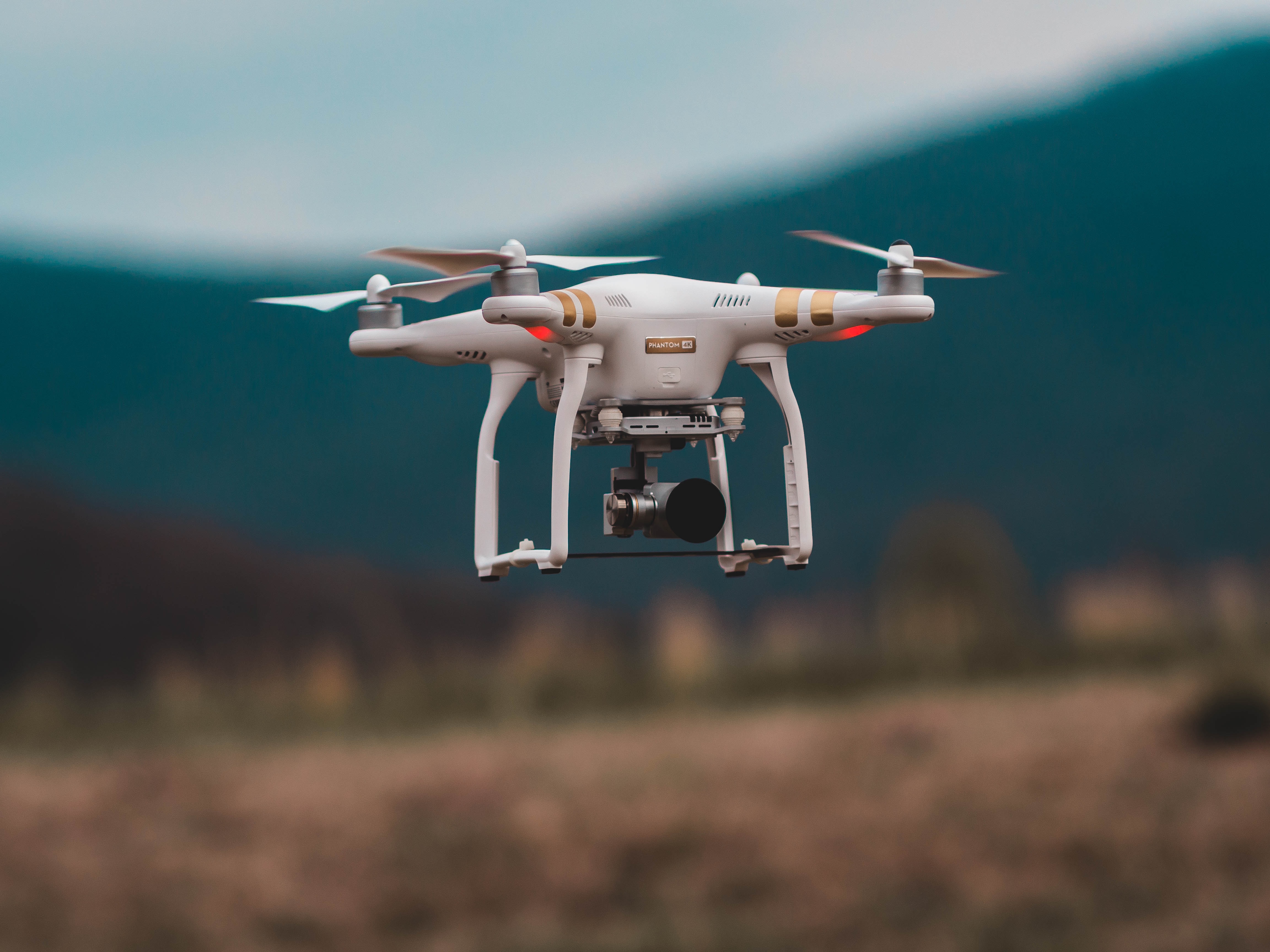

ThinkegicIT Consulting
Our Drone mapping systems are autonomous ( “self-determining”)
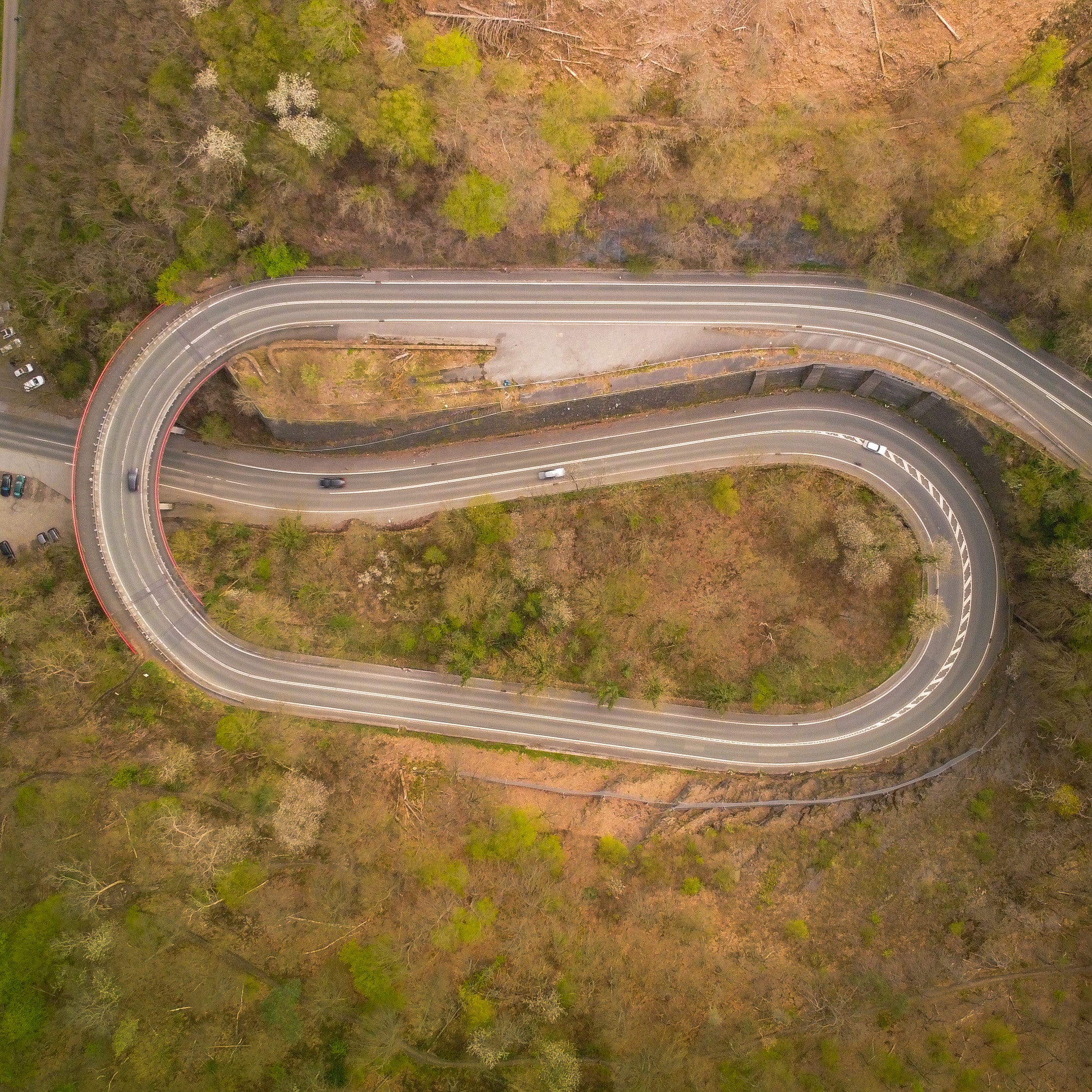
Fly preprogrammed routes via autopilot & telemetry
Autopilot firmware coded for photogrammetric precision mapping
True accurate mapping systems (photogrammetric)
Rapid data acquisition and delivery
Safe & reliable